
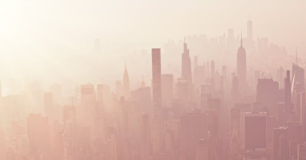
Smoke from large wildfires in Canada's Manitoba province has drifted thousands of miles south, placing residents in eight U.S. states and four Canadian provinces under air pollution warnings, according to Newsweek. Air quality maps show the affected regions are home to tens of millions of people.
AirNow, which publishes a real-time, color-coded air quality map using data from dozens of state, local, and federal agencies, indicates that parts of New York City, Detroit, and Oklahoma City are experiencing "moderate" air pollution. The entire area around Dallas, Austin, Houston, and San Antonio is under a similar air quality index warning, with suburbs of San Antonio classified as "unhealthy" or "unhealthy for sensitive groups."
The four Texas cities alone have more than six million residents, while New York City, Oklahoma City, and Detroit add roughly 9.5 million more, meaning millions of people are breathing air that public health officials say warrants caution, particularly for those with existing health conditions.
Who Faces the Greatest Risk
The Environmental Protection Agency notes that its 500-point, color-coded AQI scale is graded by how many people are affected. Even areas under "code yellow" — where most impacted regions currently fall — can cause problems. While the EPA states it "cannot identify groups of people that are at greater risk" under moderate AQI, controlled human exposure studies cited by the agency suggest some individuals experience health effects at more moderate levels of outdoor exertion or lower ozone levels than the average person. Sensitive groups include pregnant people, children, the elderly, and those with heart or lung conditions.
The primary recommendation during elevated air pollution is to stay indoors with windows closed. With so many people under alerts, that guidance presents practical challenges for those who cannot remain inside.







Editorial Notes